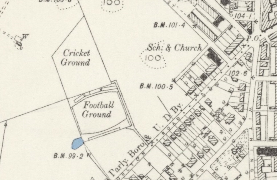

The first bicycle racing at the ground was at a sports meeting on 17th May 1878, which included a two miles bicycle handicap race. At the same meeting, the notorious Choppy Warburton** ran in the four miles steeplechase event. The Caledonian Association also held their sports at the Manchester FC ground, "near Brook's Bar" on 31st August 1878 and included a one mile maiden bicycle handicap race.
Sir Humphrey de Trafford died in 1887 and Manchester FC were having trouble renewing their lease on the ground and did not consider the cost of spending £400 on a cinder track was worthwhile whilst they still had a yearly lease.
Although sports meeting, rugby and football matches were very regularly at the ground, bicycle races only took place intermittently. The Lancashire County Police athletics sports were one of the largest sports meetings that were regularly held at the ground from 1888 and they included two bicycle races; a two miles open handicap and a one mile novices handicap. The police sports were not always held at Whalley Range, Old Trafford, Belle Vue and the Pomona were also used for the sports. Whalley Range last hosted the police sports in 1893.
Even though it was a rugby ground, Whaley Range hosted the FA cup semi-final between Manchester City against Blackburn Rovers in 1892.
The Manchester Football Club ground eventually ended up as housing near the present day area around Norton Street, Whalley Range.